How to Get Around Boston: A Comprehensive Guide Based on Real Travel Experience
Boston is one of the most fascinating cities in the United States, blending colonial history with modern innovation. But for first-time visitors, understanding how to get around Boston can be a bit challenging. Distances are greater than they seem, and the city is actually a collection of smaller municipalities and neighborhoods, each with its own personality and layout. Based on personal experience, we have compiled a complete, detail-rich guide to help you navigate Boston with ease and confidence.
Boston’s Layout: Understanding the City’s Structure Before You Move Around
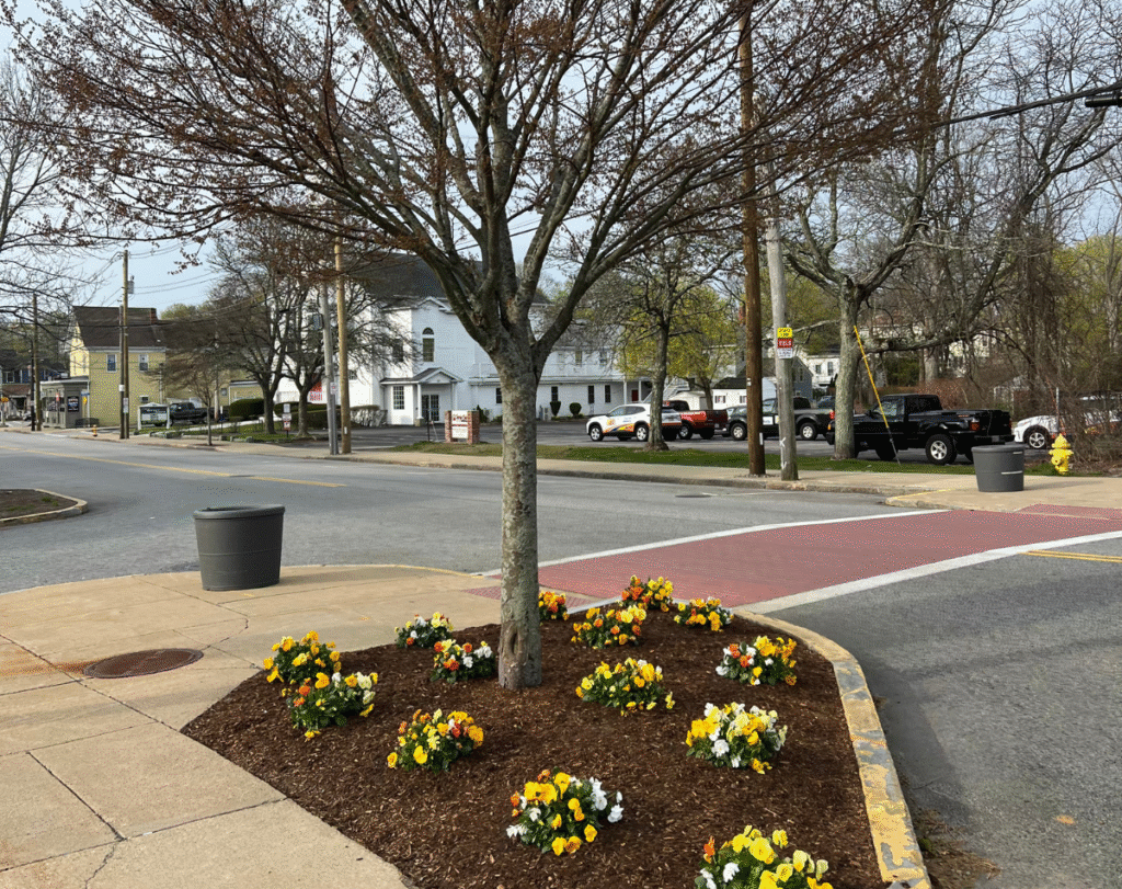
Boston isn’t like many other U.S. cities that are clearly divided into boroughs or districts. Instead, the Greater Boston Area consists of multiple smaller cities and towns that blend into one another. From a traveler’s perspective, this makes it feel like Boston has no clear neighborhoods, but rather distinct cities side by side.
Here’s a simplified breakdown:
-
Downtown Boston: This is the historical heart, home to the Freedom Trail, Boston Common, Faneuil Hall, and the Financial District.
-
Cambridge: Located just across the Charles River, this is where Harvard University and MIT are located. It has a strong academic and cultural vibe.
-
Brookline: A beautiful residential area bordering Boston, known for its quiet charm and proximity to Fenway Park.
-
Somerville: An artsy, vibrant city with a youthful feel.
-
Seaport District: The modern waterfront area, perfect for nightlife, luxury hotels, and ocean views.
-
Back Bay and Beacon Hill: Historic, upscale areas full of 19th-century architecture, boutique shopping, and charming streets.
Each of these areas is easily accessible but unique, and you’ll quickly notice how walking from one to another can feel like entering a completely different city.
Where to Stay in Boston: Strategic Areas for Easy Transportation
Choosing the right location to stay in Boston can save you time, energy, and transportation costs. Since attractions are spread out and Boston is not as walkable end-to-end as it might seem on a map, we recommend selecting accommodations in or near:
-
Back Bay – Central, stylish, close to public transportation, and walkable to many major sights.
-
Downtown Boston – Ideal for first-timers, close to tourist hotspots.
-
Cambridge – Perfect if you’re interested in visiting Harvard or MIT, with easy subway (T) access to downtown.
-
Seaport – Best for modern hotels, harbor views, and great food scenes.
-
Fenway/Kenmore – Great if you want to catch a Red Sox game or enjoy a younger atmosphere.
Staying in any of these areas will make it much easier to access the city’s major attractions and simplify your daily transportation logistics.
From Logan Airport to the City: Easy and Affordable Transit Options
Logan International Airport is conveniently located, just a short distance from downtown. You have several efficient transportation options to reach your hotel or Airbnb:
-
Uber or Lyft: These ride-sharing services are reliable and surprisingly affordable in Boston. Expect to pay around $1 per km or even less. You might even find yourself riding in a Tesla, as these are common among Boston’s fleet.
-
Silver Line Bus (SL1): This is a free service from Logan Airport to South Station, where you can connect to the Red Line subway.
-
Taxi: More expensive, averaging around $25–$40 to central Boston.
-
Water Taxi: A unique and scenic way to enter the city, connecting the airport to various downtown docks.
Public Transportation in Boston: The MBTA “T” Subway System
Boston’s subway system, known locally as the “T”, is one of the oldest in America and covers most major areas efficiently. While the lines may seem confusing at first, they’re color-coded and generally user-friendly once you get the hang of them:
-
Red Line: Connects Cambridge (Harvard, MIT) with Downtown.
-
Green Line: Great for Fenway Park, Boston University, and the Museum of Fine Arts.
-
Blue Line: Links Logan Airport with downtown.
-
Orange Line: Connects Jamaica Plain and Back Bay with the North End.
To use the T:
-
Download the MBTA app to track schedules and routes.
-
Purchase a CharlieCard or CharlieTicket from any station.
-
Load your card and tap at turnstiles – it’s easy.
For those unfamiliar with subways, it might feel intimidating at first. That’s why we recommend pairing the experience with navigation apps like Google Maps or Citymapper, which offer real-time transit directions.
Ride-Sharing: Uber and Lyft as Reliable, Flexible Options
Boston is a top-tier city for ride-sharing. Whether you’re catching a ride from the airport, heading to dinner in Cambridge, or crossing from the Seaport to Beacon Hill, Uber and Lyft are everywhere.
-
Fares typically start low (around $6 for short distances) and vary depending on traffic and time of day.
-
Tesla and EVs are commonly available, offering a more eco-friendly and comfortable ride.
-
Apps are seamless, and wait times are usually under 5 minutes.
We recommend factoring these costs into your daily budget – approximately $10–$25 per ride, depending on your itinerary.
Walking Around Boston: Surprisingly Pedestrian-Friendly Cities
Despite the distances between neighborhoods, many parts of Boston and its surrounding cities are highly walkable. In fact:
-
Downtown Boston to Beacon Hill: 10–15 minutes on foot
-
Harvard Square to MIT: 25-minute scenic walk along the Charles River
-
Seaport to North End: 30-minute enjoyable coastal walk
Walking in Boston is safe, scenic, and a great way to discover the city’s hidden gems. Most sidewalks are wide and well-maintained, and pedestrian crossings are respected by drivers.
Boston Isn’t Just a City — It’s an Experience
Best Apps and Tips for Navigating Boston with Ease
To avoid confusion and maximize efficiency, here are the most useful apps and tools for getting around:
-
Google Maps: Best for directions and transit combinations.
-
Citymapper: Real-time updates for subway and bus travel.
-
Uber/Lyft: Ride-sharing on demand.
-
Transit App: Ideal for tracking MBTA service disruptions.
-
MBTA mTicket App: Useful if taking commuter rail services.
Make sure to enable a U.S.-based payment method or international card in your app settings to ensure smooth fare payments.
Final Thoughts: Organizing Your Travel Budget and Route Strategy
Getting around Boston is easier than it seems at first glance. While it may feel spread out, the combination of ride-sharing, walking, and public transport creates a travel ecosystem that is efficient and enjoyable. The key is choosing the right area to stay, planning ahead with apps, and understanding the character of each small city within the Greater Boston area.
Whether you’re here for history, academia, or leisure, navigating Boston is a seamless experience when approached with smart planning and digital tools.
1. Is it safe to drive in Boston during heavy snow?
Yes, the city is well-prepared for snowstorms. Roads are salted and cleared quickly, but driving can still be tricky during active snowfall. Always check weather updates and consider using public transport on stormy days.
2. What’s the best area to stay in Boston for easy transportation?
If you’re visiting Boston and want to be close to public transportation and major attractions, Back Bay and Downtown Boston are your best bets. Both areas are central, walkable, and connected by multiple subway lines. If you’re visiting Harvard or MIT, Cambridge is also a great option with direct Red Line access to downtown.
3. How do I get from Logan Airport to my hotel in the city?
You have several convenient options:
-
Silver Line Bus (SL1) – Free and connects to the Red Line at South Station.
-
Uber/Lyft – Easy to use and affordable (around $20–$30).
-
Taxi – More expensive but direct.
-
Water Taxi – A scenic and unique experience to get downtown.
4. Is Boston a walkable city for tourists?
Absolutely! Many key neighborhoods and attractions are within walking distance of each other. For example, you can walk from Downtown to Beacon Hill in 10–15 minutes or enjoy scenic walks along the Charles River in Cambridge. Just wear comfortable shoes and use Google Maps to guide your routes.
5. Do I need a car to get around Boston?
No, and it’s actually better without one. Boston’s public transport, ride-sharing services, and walkability make cars unnecessary — and parking is expensive and hard to find. For day trips outside the city (like Cape Cod or Salem), you can rent a car for just that day if needed.
This space is yours too. Write to me?
I’d love to hear your stories, your paths, your fresh starts.
